University degree in Forest Sciences in 1997, currently research grant holder at IFAC, I have been working for 20 years in the field of GIS and Remote Sensing applications in environment related sectors as well as rural development and natural resources monitoring and evaluation. Read more
I have worked as Key Expert and Coordinator for several international projects for development cooperation, mainly in North Africa and Central Asia but also in South America, East Africa and Sub Saharan Africa.
My main working experiences have been:
- 2000-2005: tutor of the Master Professional “Geomatics and Natural Resources Evaluation”;
- 2005-2010: GIS Key Expert in Algeria in the framework of two GIS projects applied to rural development and water management;
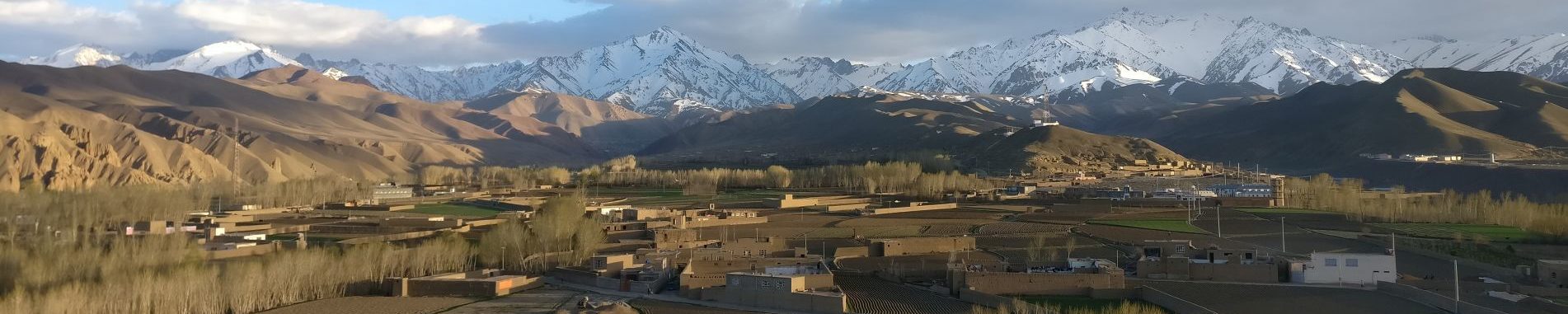
- 2011-2015: on-site coordinator (Pakistan and Afghanistan) of a regional project on olive crop promotion;
- 2015-2018: Rural Development expert in Afghanistan for the Italian Agency for Development Cooperation.
Most of my professional activity has been so far focused on GIS training within Development Cooperation Projects, realysing both online or class courses. In this frame, from 2011 to 2015, I have acted as GISMAP training manager while, also starting from 2011, I have been collaborating with gvSIG Association to promote sustainable use of open source software through webinar, video tutorials and articles on related blogs.